
by Ronald Toito’ona
A newly named tropical system, Tropical Cyclone Vaianu, is rapidly strengthening over open waters in the Southwest Pacific, with forecasters warning it could soon reach severe cyclone status.
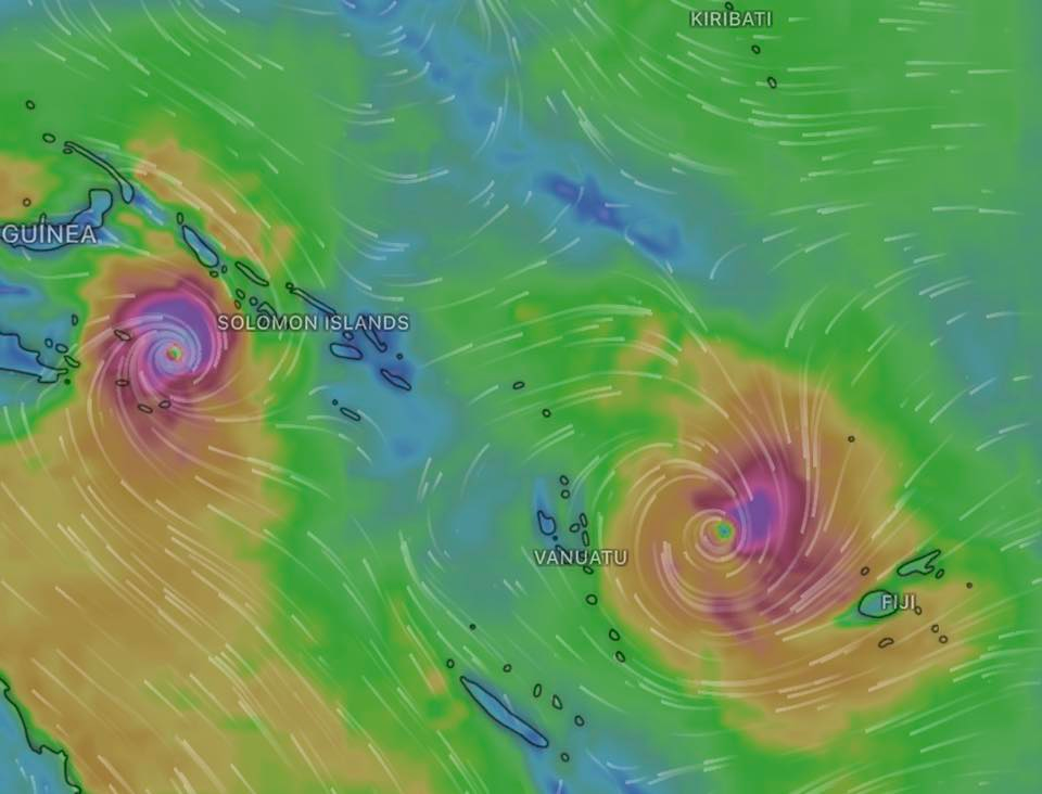
This makes it the second Tropical Cyclone to hit the Pacific Seas at one time.
According to the Fiji Meteorological Service, Tropical Depression 11F (TC 31P) was upgraded to Tropical Cyclone Vaianu as it tracked well to the northeast of Vanuatu. However, some independent intensity estimates suggest the system may already be stronger than official figures indicate.
As of 12:00 UTC, Cyclone Vaianu was located near 14.9° South and 172.2° East, moving slowly south at around 10 kilometres per hour. The system is estimated to be producing sustained winds of about 95 km/h, with gusts reaching up to 140 km/h, placing it at Category Two intensity, with a central pressure of 987 hectopascals.
Meteorologists are closely monitoring the system as it shows signs of rapid intensification. Current projections indicate that Vaianu could strengthen into a severe tropical cyclone within the next 12 to 24 hours as it begins turning south-southeast.
The cyclone is expected to reach its peak intensity by Tuesday before encountering less favourable conditions, including increased wind shear and cooler sea surface temperatures, which should gradually weaken the system later in the week.
At this stage, Vaianu is forecast to remain over open ocean and is not expected to make direct landfall over major populated areas. However, its outer rainbands may still bring impacts to parts of the region.
Coastal areas of Fiji and Tonga could experience heavy surf and occasional strong showers, particularly along westward- and southward-facing coastlines from Monday evening through Wednesday.
Authorities are advising residents and mariners in affected regions to remain alert and monitor official updates, as conditions at sea are expected to deteriorate despite the cyclone remaining offshore.
[ENDS]
Facebook Comments Box
